Explore, analyze and learn regional growth, convergence and inequality — spatially, in Python.
geometrics turns the standard analyses of the regional convergence literature into illustrative, easy-to-apply functions with interactive Plotly figures, publication-quality Great Tables, and a plain-language reading on every result — built on the excellent PySAL family (libpysal, esda, giddy, inequality, mapclassify, spreg) and mgwr.
🗺️ Explore
See the regional map and its structure: classified and animated choropleths, the weights connectivity graph, Moran scatterplots, LISA cluster maps, and space-time views of the whole distribution.
🧮 Analyze
Estimate the classics: β/σ/club convergence, the spreg suite with LeSage-Pace impacts and LM diagnostics, Markov and spatial Markov dynamics, Gini/Theil decompositions, and GWR/MGWR local models.
📚 Learn
See the ideas behind the methods: 11 runnable concept sandboxes where you plant the truth and watch the estimator recover it, a 30-topic explainer index, and .interpret() on every result.
Try the apps in your browser
No install, no code — the three geometrics apps run the whole workflow in your browser on the bundled India and Bolivia case studies: pick a dataset, set the spatial weights, and every figure arrives with its plain-language reading. Each is the no-code companion to a docs case study.
What’s inside
Explore is the descriptive first pass — maps that classify honestly, a weights graph you can inspect before trusting, global and local Moran, and ridgeline / heatmap views of how the whole regional distribution moves through time.
Analyze estimates what Explore described — β-convergence with or without spatial spillovers (OLS / SAR / SEM / SLX / SDM, read through the LeSage-Pace impact decomposition), σ-convergence, Phillips-Sul clubs, spatially conditioned Markov chains, inequality trends with the spatial Gini, exact Theil between/within splits, and geographically weighted regression.
Learn teaches — every result interprets itself in plain, association-only language and can explain the concept behind it, while the learn_* sandboxes simulate from a known truth so the methods stop being black boxes.
The three-input data model
| Input | What it is |
|---|---|
gdf |
Geometry with only the entity ID — shapefile, zipped shapefile, GeoJSON, or GeoPackage |
df |
A long-form panel — one row per (entity, time) |
df_dict |
A data dictionary — var_name, var_def, label, type, role, can_be_na |
Declared once with set_labels(df, df_dict, set_panel=True), used everywhere. Every function returns a frozen result object: .df (tidy frame), .fig (Plotly), .gt (Great Tables), named scalars, .interpret(), .explain().
Bundled case studies
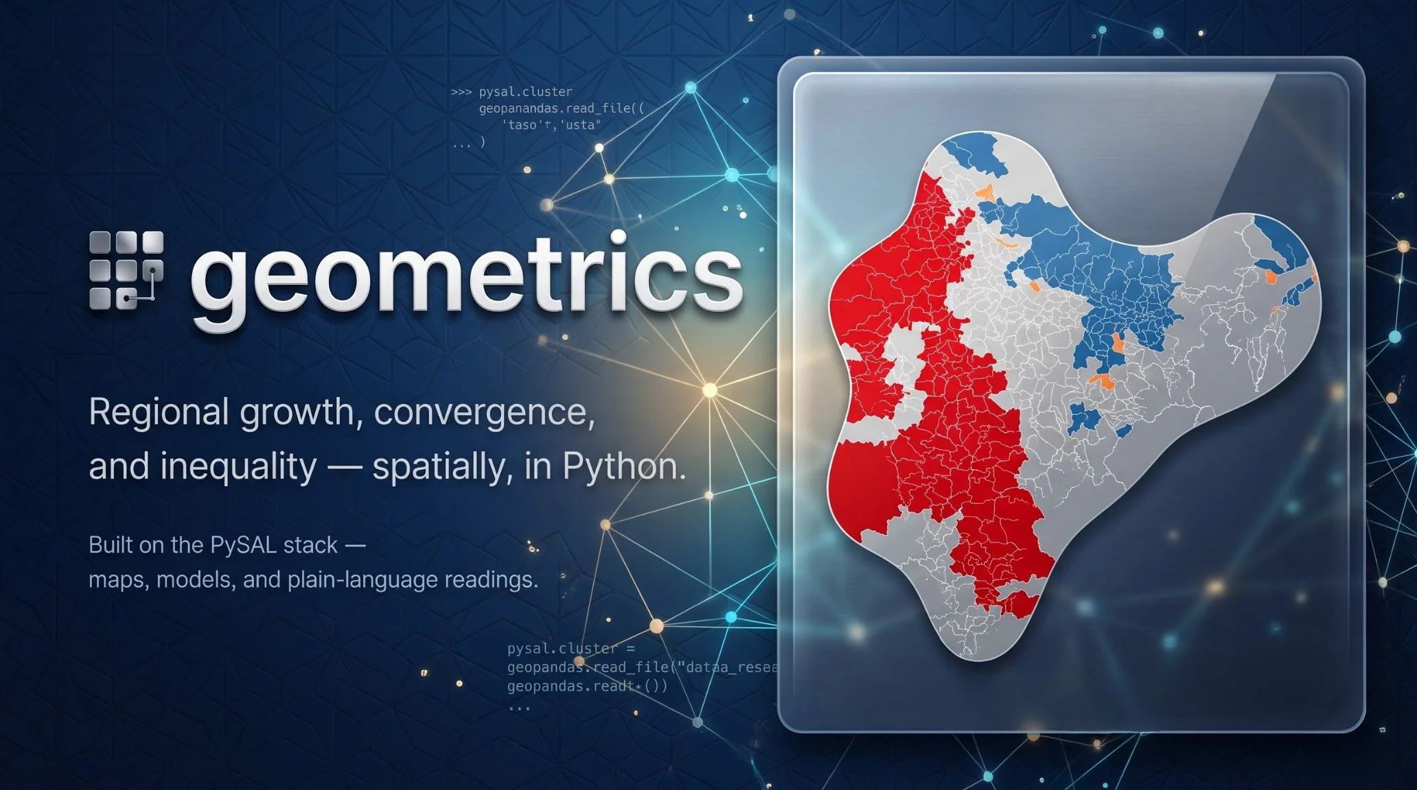
- India — 520 districts observed by satellite nighttime lights, 1996–2010 (Mendez, Kabiraj & Li):
gm.data.load_india() - Bolivia — PWT-anchored local GDP (2021 PPP US$), 2012–2022, at three scales (Rossi-Hansberg & Zhang / PWT 11.0):
gm.data.load_bolivia()(112 provinces),load_bolivia_departments()(9),load_bolivia_grid()(1,603 cells)
Installation
pip install geometrics                 # core
pip install "geometrics[dynamics]"     # + Markov / spatial Markov (giddy)
pip install "geometrics[streamlit]"    # + the three no-code apps
pip install "geometrics[all]"          # everything, incl. PNG export
Requires Python 3.11+. Bleeding edge: pip install "git+https://github.com/quarcs-lab/geometrics.git".
At a glance
import geometrics as gm

gdf, df, df_dict = gm.data.load_india()          # the bundled Indian case study
df = gm.set_labels(df, df_dict, set_panel=True)  # declare everything once

w = gm.make_weights(gdf, method="knn", k=6)
gm.explore_lisa_cluster_map(df, "ntl_total", gdf=gdf, w=w, period=2010).fig

res = gm.analyze_beta_convergence(df, "ntl_total", model="sdm", gdf=gdf, w=w)
print(res.interpret())
Learn as you go — plant a truth and watch it come back:
gm.learn_spatial_autocorrelation(rho=0.8).fig
print(gm.explain("spatial_autocorrelation"))
Built on
libpysal · esda · giddy · inequality · mapclassify · spreg · mgwr · geopandas · Plotly · Great Tables
Acknowledgement
Developed at the QuaRCS Lab. geometrics follows the design language of expdpy and stands on the shoulders of the PySAL project. Case-study data: Mendez, Kabiraj & Li; Rossi-Hansberg & Zhang (2026) with Penn World Table 11.0. If geometrics is useful in your research, please cite it (see CITATION.cff).